"A truly stunning new software product" - George Morgan
Import your family data directly from your genealogy software
Add markers to create personalized maps
Powerful tools like a Gazetteer, Nearby Places list, and Distance Calculator
Add pictures and text to maps, then print or save them to PDF or several graphics formats
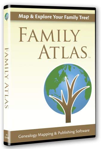
Family Atlas lets users create custom family maps based on their own genealogy data.
Family Atlas users view their family information on an interactive world map (either spherical or flat), and can zoom in or out to see additional detail like state and county boundaries.
Family Atlas directly imports data from popular genealogy software including RootsMagic, Family Tree Maker, PAF, Legacy and GEDCOM. Places are automatically geo-coded by matching them against the 3.5 million name world place database included with Family Atlas.
Sites of important family events are easily pinpointed by adding custom markers automatically tied to the genealogy data. Markers can be based on specific people and events, or on your entire family tree, making it easy to see migrations and clusters in family data. Markers can also be added by hand, making possible historical marker sets like "Civil War Battles" and personal marker sets like "Our Family Vacations". Both hand-entered and data-based markers can easily be combined on the same map.
Publishing beautiful maps is a breeze with Family Atlas. Users can enhance their maps with text, migration lines, text bubbles, photographs and other objects. Users can save or print their maps, or export them to PDF or a number of popular graphics formats to be used in reports, books, or websites.
Other features in Family Atlas include the interactive Gazetteer, which helps locate almost any place in the world, and the "Nearby Places List" which finds all places and events within a given distance of any point.